MUSSOORIE 2N3D
-
Delhi
-
Dzire
-
Card/UPI
-
3 * Hotel
-
All Season
-
Breakfast
-
NO
-
Delhi
We believe that travel should be more than just a trip; it should be an experience filled with
beautiful memories. Whether you’re planning a family vacation, a honeymoon getaway, or a
corporate retreat, RiseNgo Holidays Pvt Ltd is here to make your travel dreams a reality.
Overview
1. Location & Geography
State: Uttarakhand, India
District: Dehradun
Elevation: ~1,880 meters (6,168 feet) above sea level
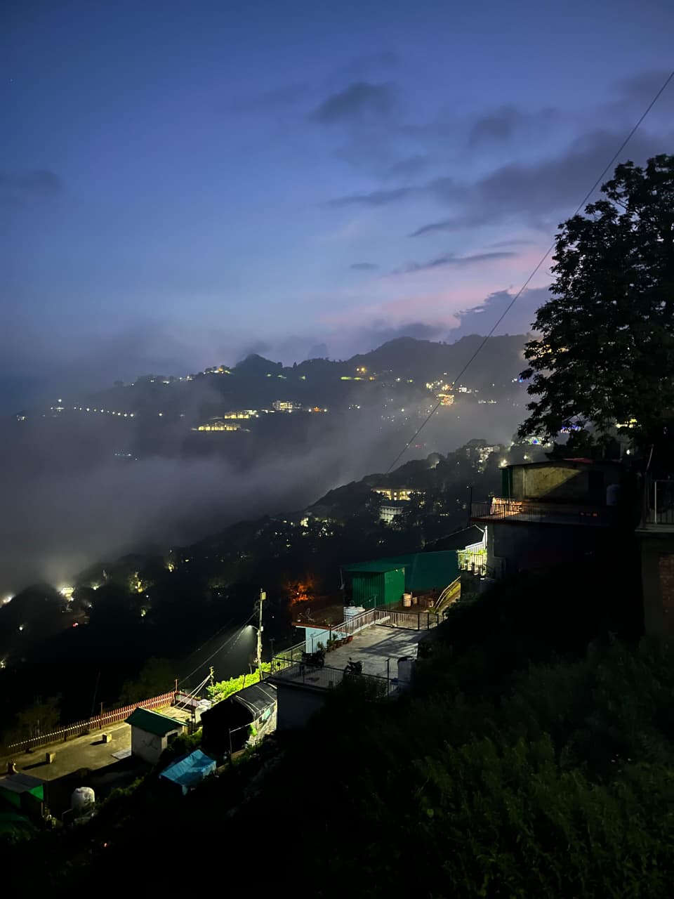
Mussoorie is located in the Garhwal Himalayan foothills, overlooking the Doon Valley.
Surrounded by lush forests of pine, deodar, and oak, offering a cool, refreshing climate year-round.
On clear days, you can see the Himalayan ranges, including peaks like Banderpoonch, Jaunsar-Bawar, and Kedarnath.
2. History
Mussoorie was developed in the early 19th century by the British as a hill station to escape the hot plains.
Originally a small village, it gained popularity among British officials and Indian elites.
Colonial influence is visible in churches, schools, bungalows, and hotels still in operation today.
Over time, it became a tourist hotspot while retaining much of its historical charm.
3. Climate
| Season | Temperature | Notes |
|---|---|---|
| Summer (Mar–Jun) | 15–25°C | Pleasant; peak tourist season |
| Monsoon (Jul–Sep) | 14–22°C | Heavy rainfall; lush greenery; risk of landslides |
| Autumn (Oct–Nov) | 12–20°C | Clear skies; mild weather; fewer crowds |
| Winter (Dec–Feb) | 0–12°C | Cold; occasional snowfall; scenic snow-covered landscapes |
Best time to visit: March–June and October–November.
4. Major Attractions
a. The Mall Road
Central promenade; lined with shops, cafes, and hotels.
Ideal for evening walks and shopping local handicrafts.
b. Gun Hill
Second-highest peak in Mussoorie (~2,024 m).
Accessible via a ropeway from Mall Road.
Panoramic views of Doon Valley and Himalayan ranges.
c. Kempty Falls
~15 km from Mussoorie town.
Famous waterfall (~40 ft height) for picnics, swimming, and photography.
d. Camel’s Back Road
Ridge shaped like a camel’s back; ideal for walking, jogging, and cycling.
Offers scenic views of Mussoorie and Doon Valley.
e. Lal Tibba
Highest point in Mussoorie (~2,290 m).
Best for sunrise and sunset photography with views of snow-capped peaks.
f. Company Garden & Mussoorie Lake
Company Garden: Amusement park with flower gardens and boating.
Mussoorie Lake: Artificial lake for boating and family picnics.
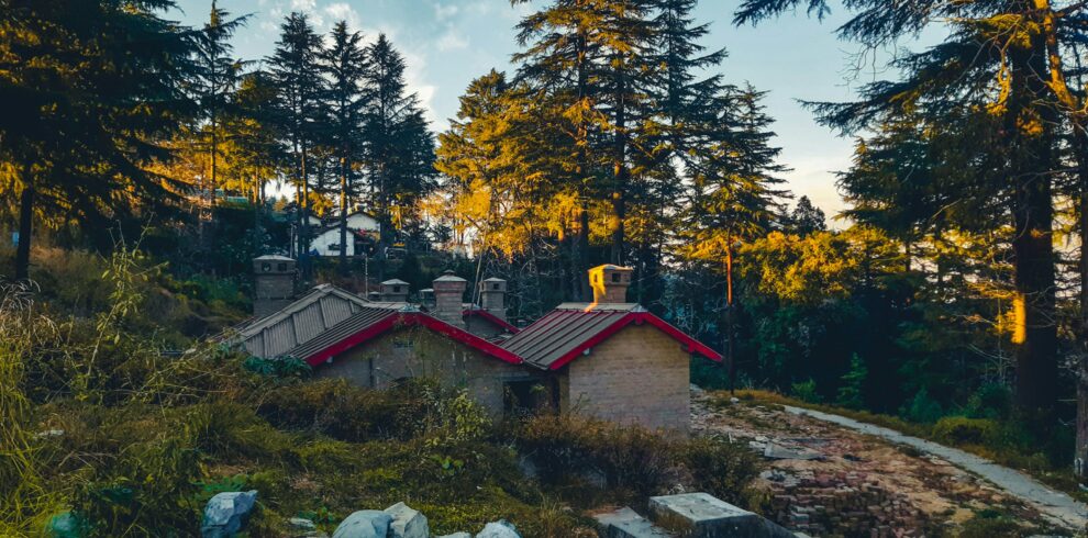
g. Landour
Adjacent cantonment town; quieter and less commercialized.
Known for colonial charm, bakeries, and scenic walking trails.
h. Other Points of Interest
Benog Wildlife Sanctuary: Trekking and nature walks.
Cloud’s End: Dense forest area; great for nature lovers.
Sahastradhara & Jharipani: Nearby waterfalls and natural springs.
5. Culture & Lifestyle
Blend of colonial-era charm and modern tourism.
Visitors: honeymooners, families, students, and adventure seekers.
Cuisine: street snacks, local bakeries, Indian fast food, and hill specialties.
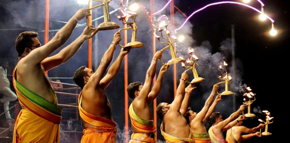
Festivals & events: summer fairs, cultural programs, and occasional adventure sports events.
6. Activities
Trekking & Nature Walks: Camel’s Back Road, Lal Tibba, Benog Sanctuary.
Adventure Sports: Paragliding, rappelling, rock climbing.
Boating & Picnics: Mussoorie Lake, Kempty Falls, Company Garden.
Photography & Sightseeing: Scenic viewpoints, waterfalls, colonial architecture.
Shopping: Mall Road for handicrafts, woolens, and souvenirs.
7. Connectivity
By Road: Connected to Dehradun (~35 km), Haridwar (~85 km), Delhi (~280 km).
By Rail: Dehradun Railway Station (~35 km).
By Air: Jolly Grant Airport, Dehradun (~60 km).